-
Supported by

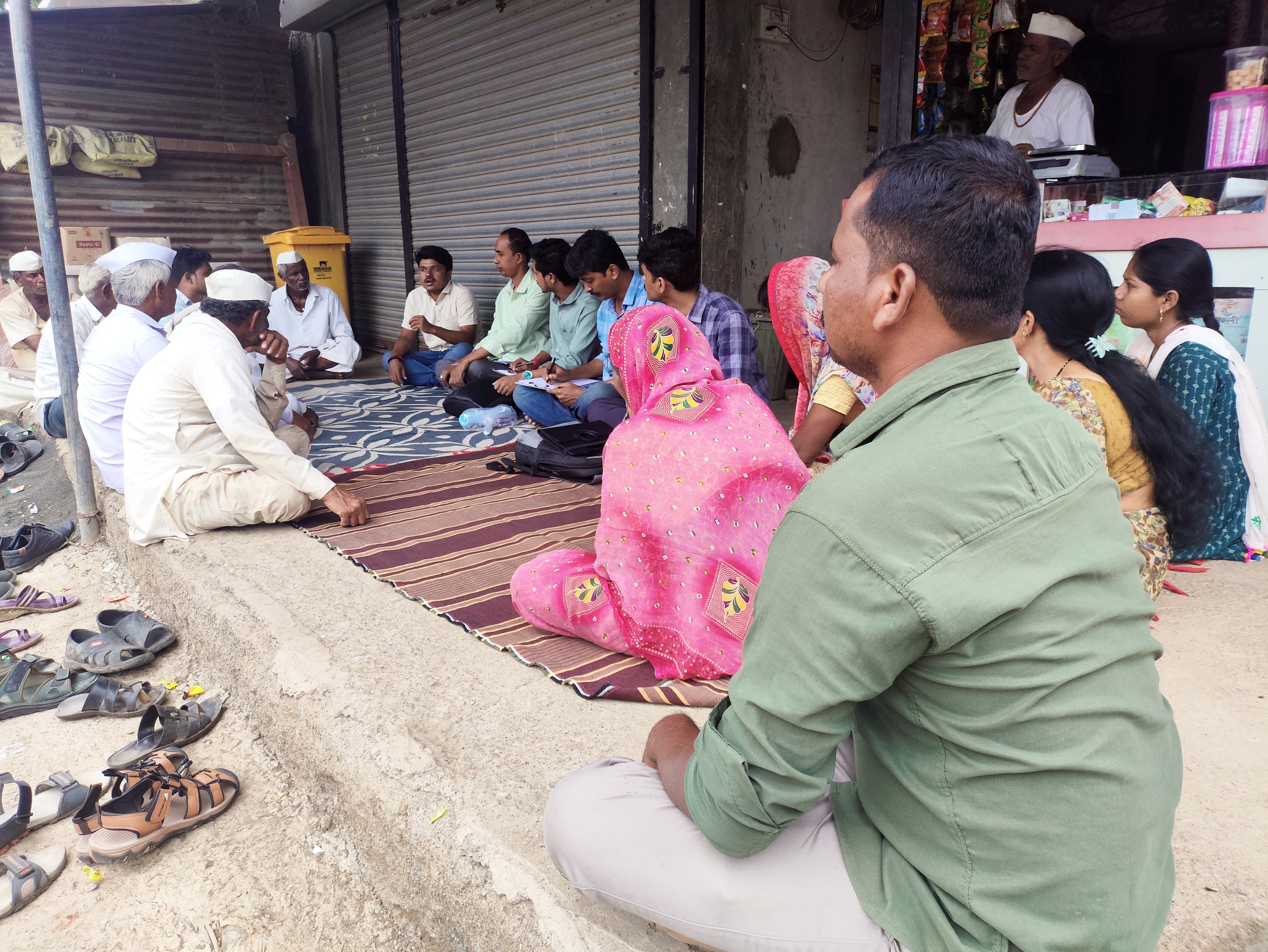
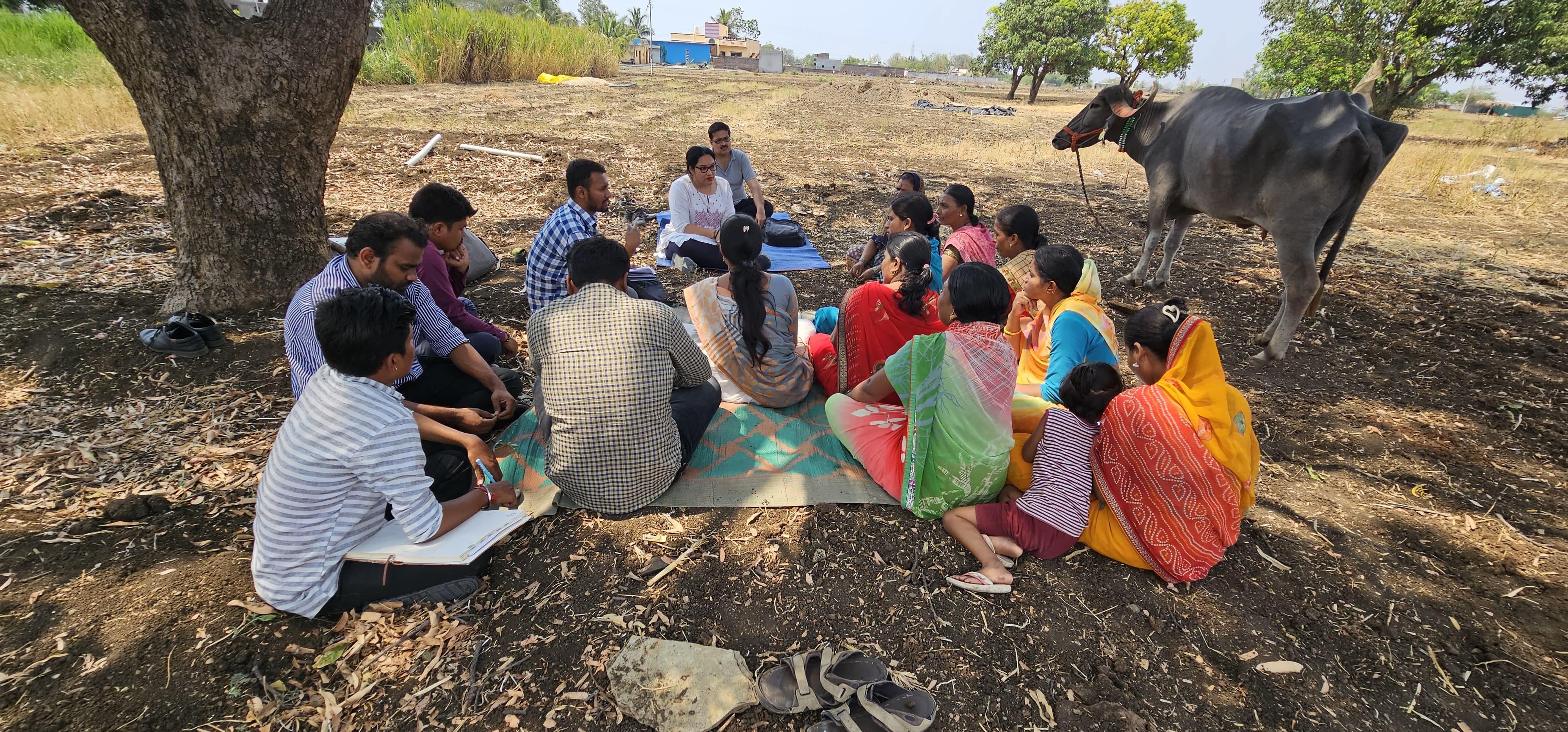
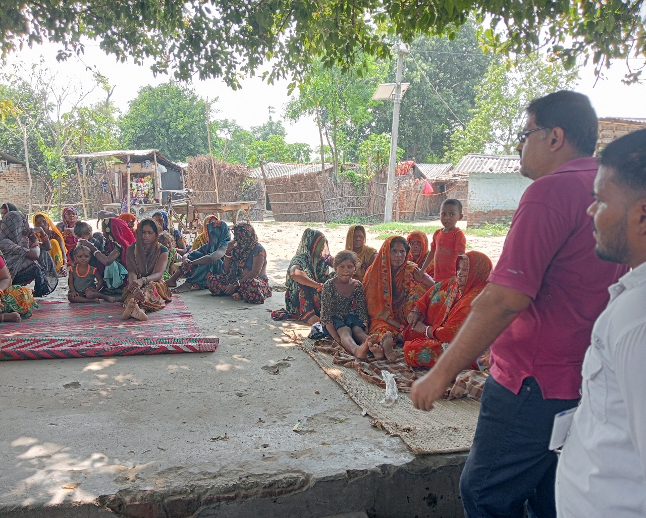
PRA involves local people in the planning and management for agriculture, natural resource management, health and food security, livelihood and social aspects.
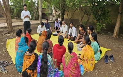
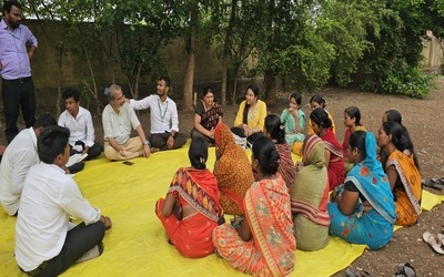
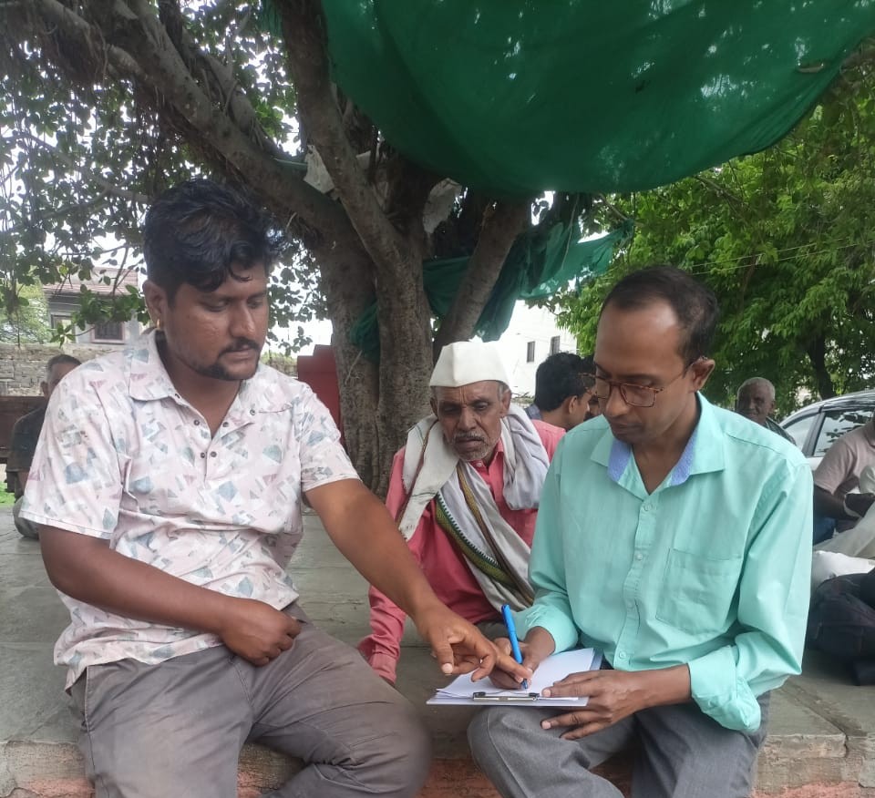
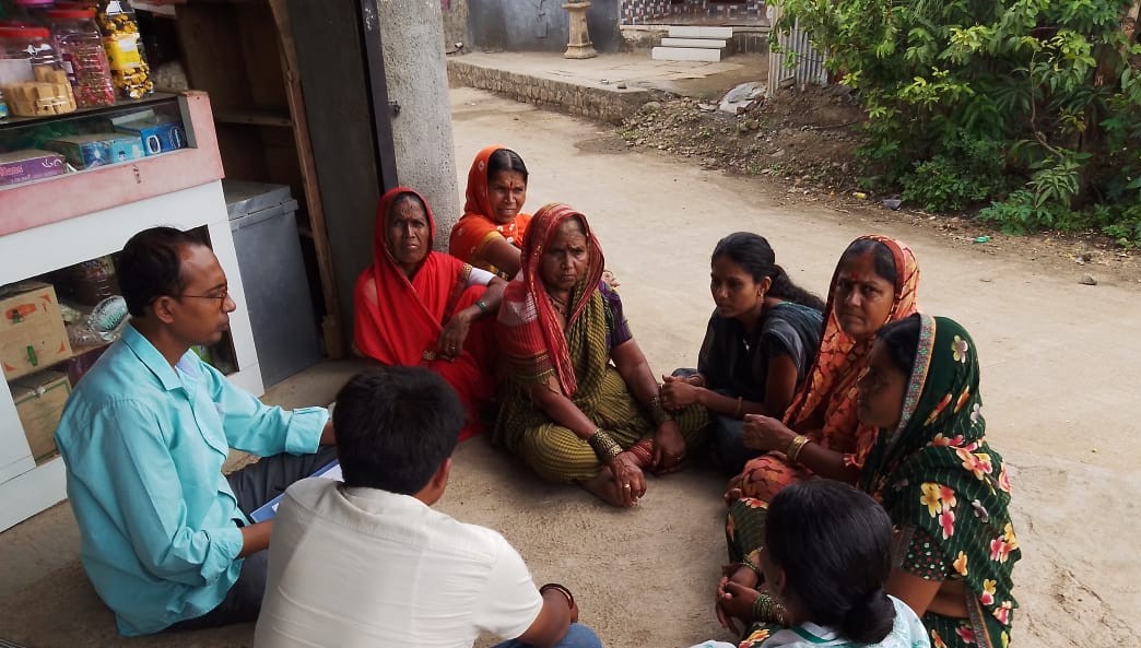
Focus Group Discussions (FGDs) play a crucial role in gathering qualitative data, especially in community-based projects and research. The significance of FGDs lies in their ability to capture the perspectives, experiences, and attitudes of participants in a structured yet flexible format.
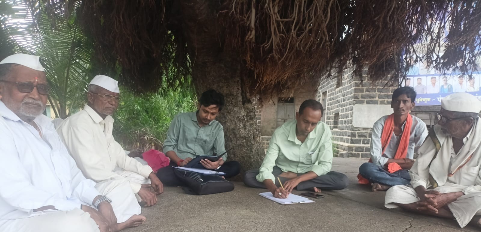
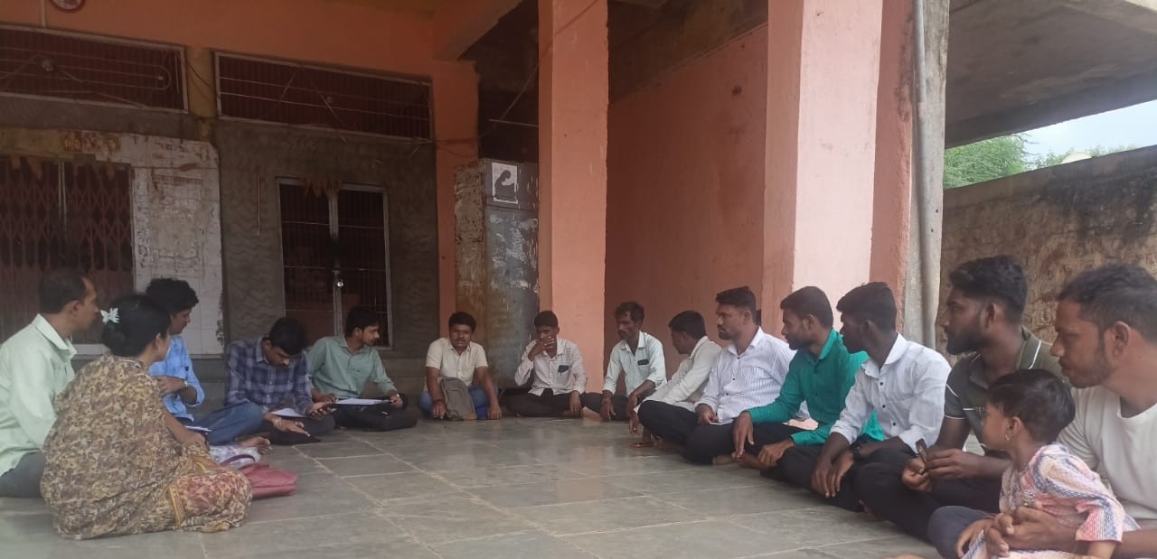
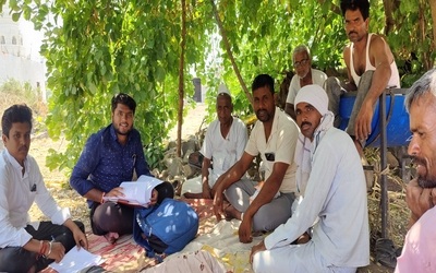
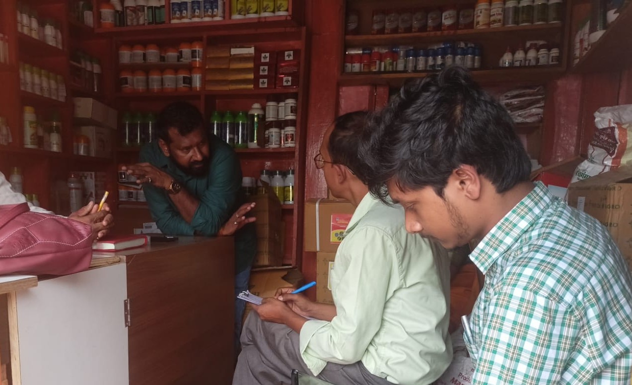
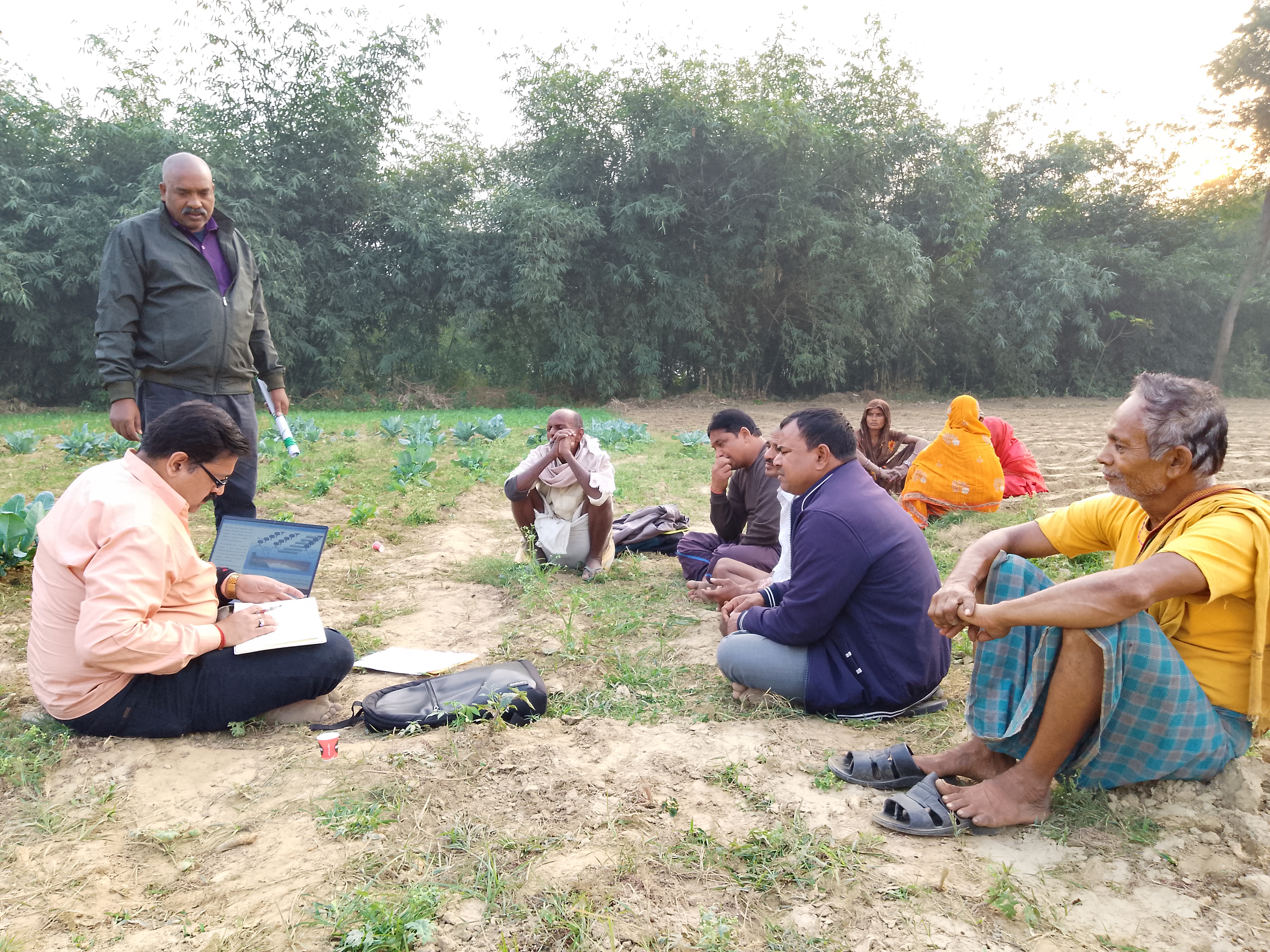
A key Informant Interview (KII) is an important qualitative research method used to gather in-depth information from individuals with specialized knowledge or experience in a particular subject area.
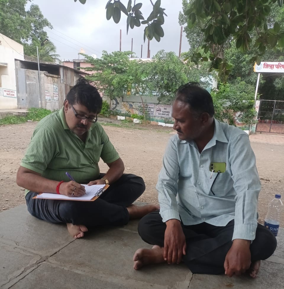
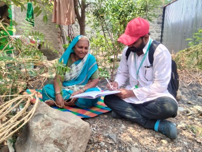
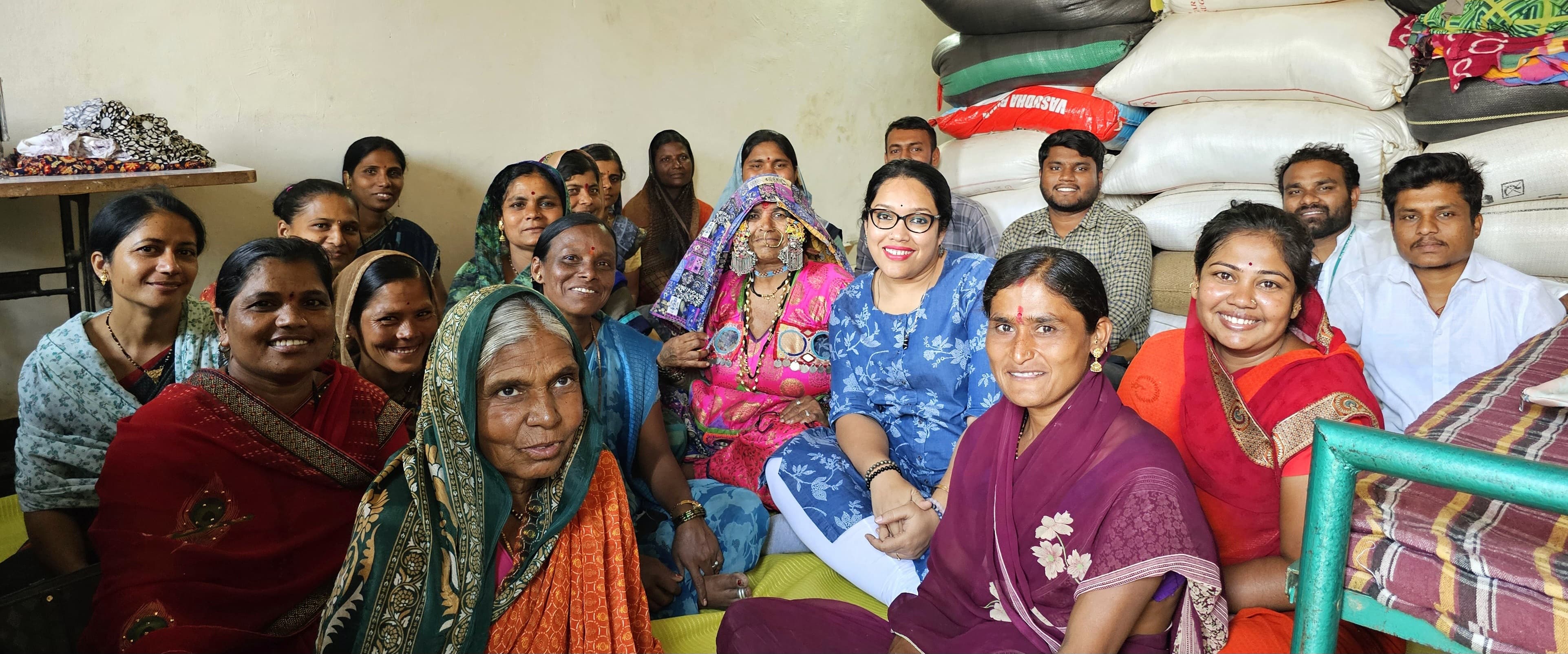
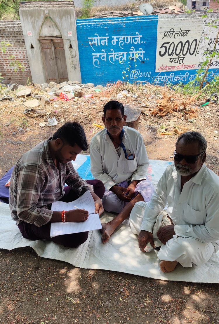
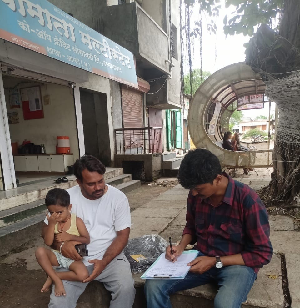
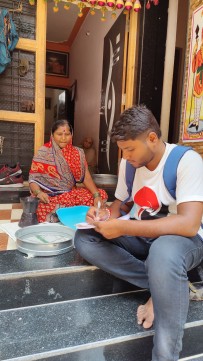
The survey helps in understanding the primary and secondary sources of income for households, such as agriculture, livestock, wage labor, or other non-farm activities. This provides insight into how resilient or vulnerable their livelihoods are to climate change impacts.
Loss and damage refer to the unavoidable consequences of climate change that go beyond the limits of adaptation, affecting vulnerable communities worldwide. As extreme weather events, rising sea levels, and shifting climate patterns intensify, developing nations and marginalized groups face severe economic, social, and environmental losses. These impacts include the destruction of homes, loss of livelihoods, biodiversity degradation, and cultural displacement. Addressing loss and damage is crucial for ensuring climate justice, as those least responsible for emissions often bear the greatest burden. Financial mechanisms, policy interventions, and global cooperation are essential to support affected communities, build resilience, and mitigate long-term risks.
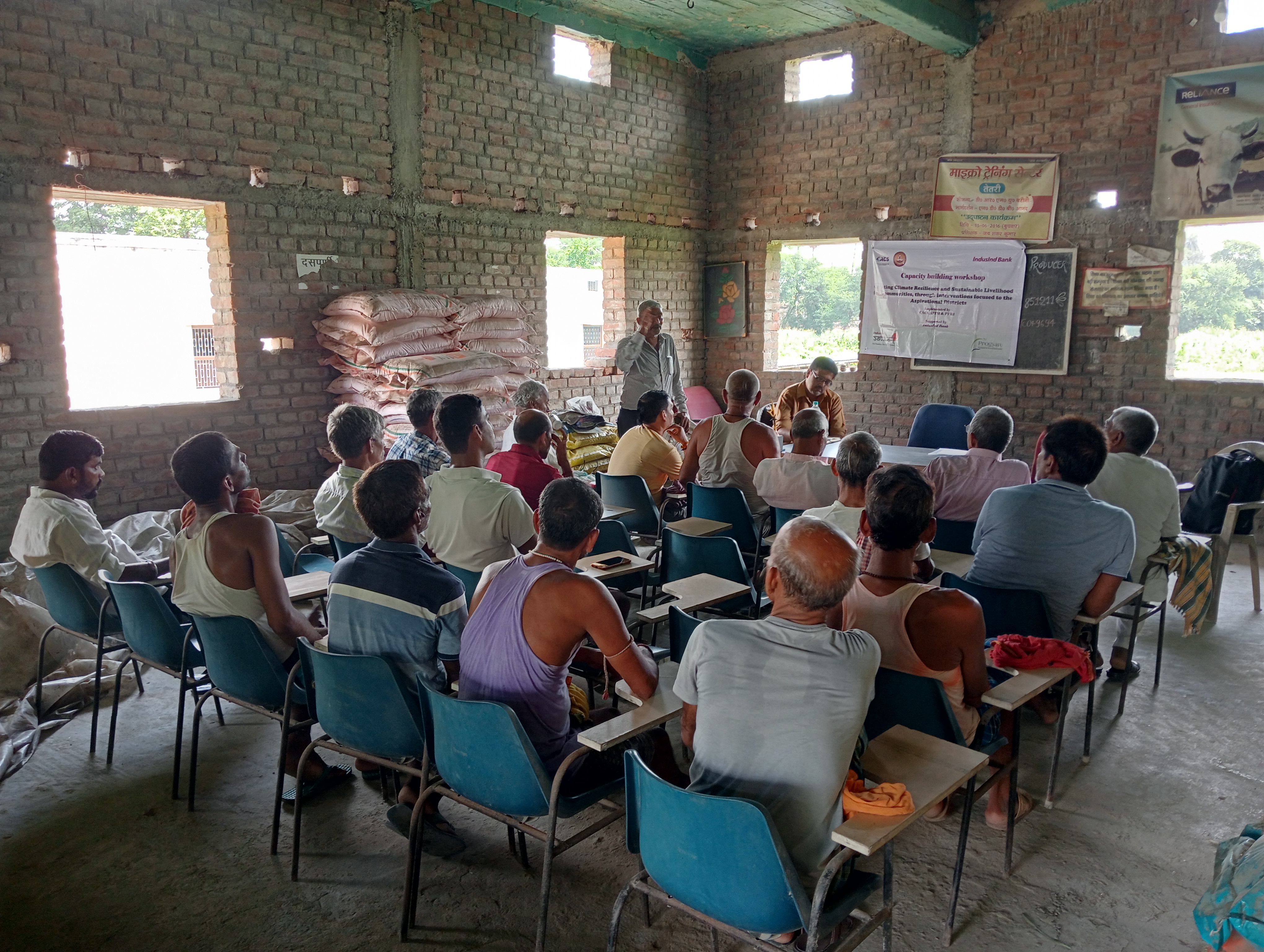
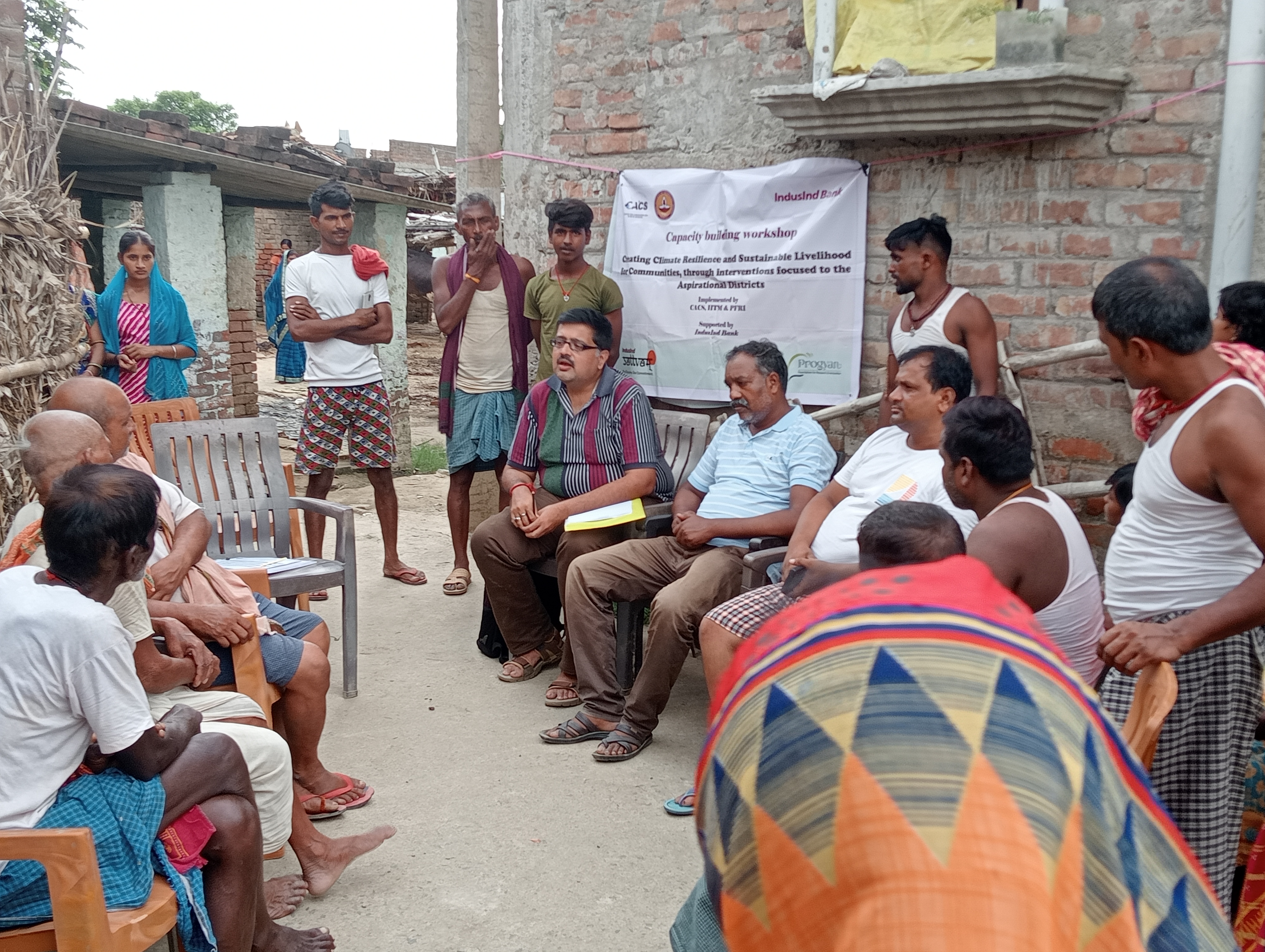
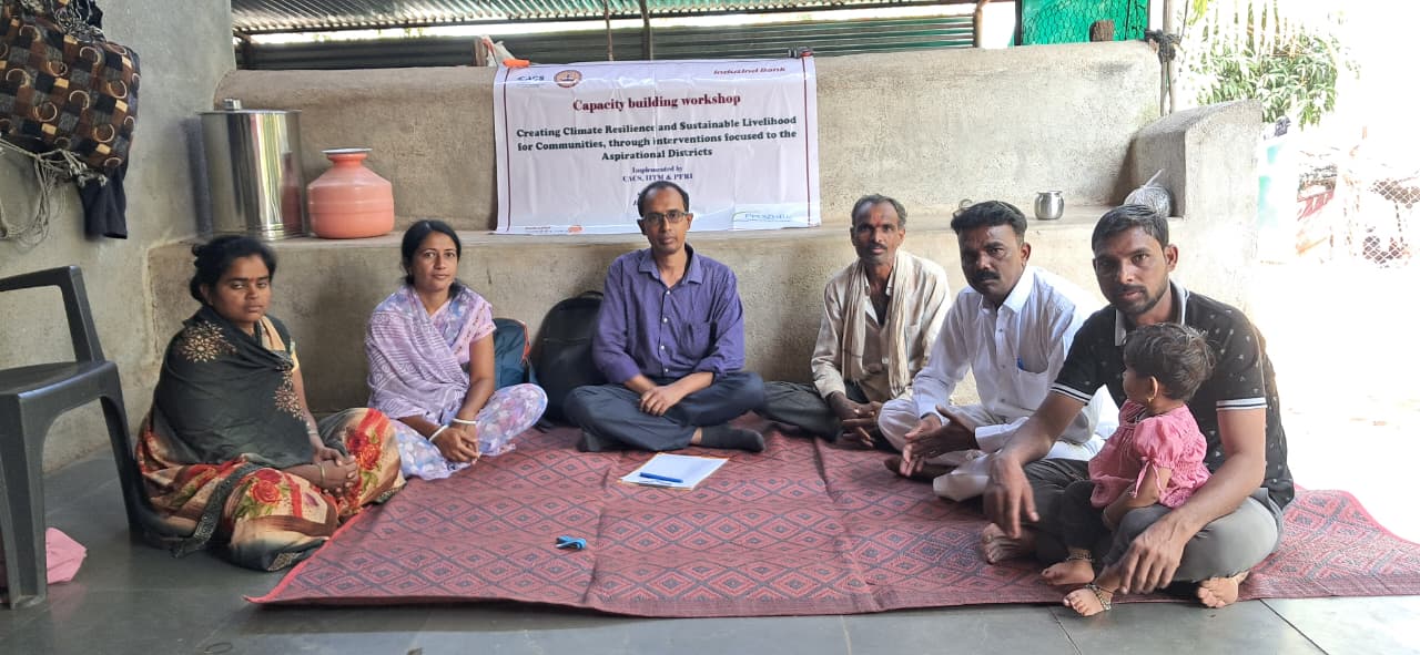
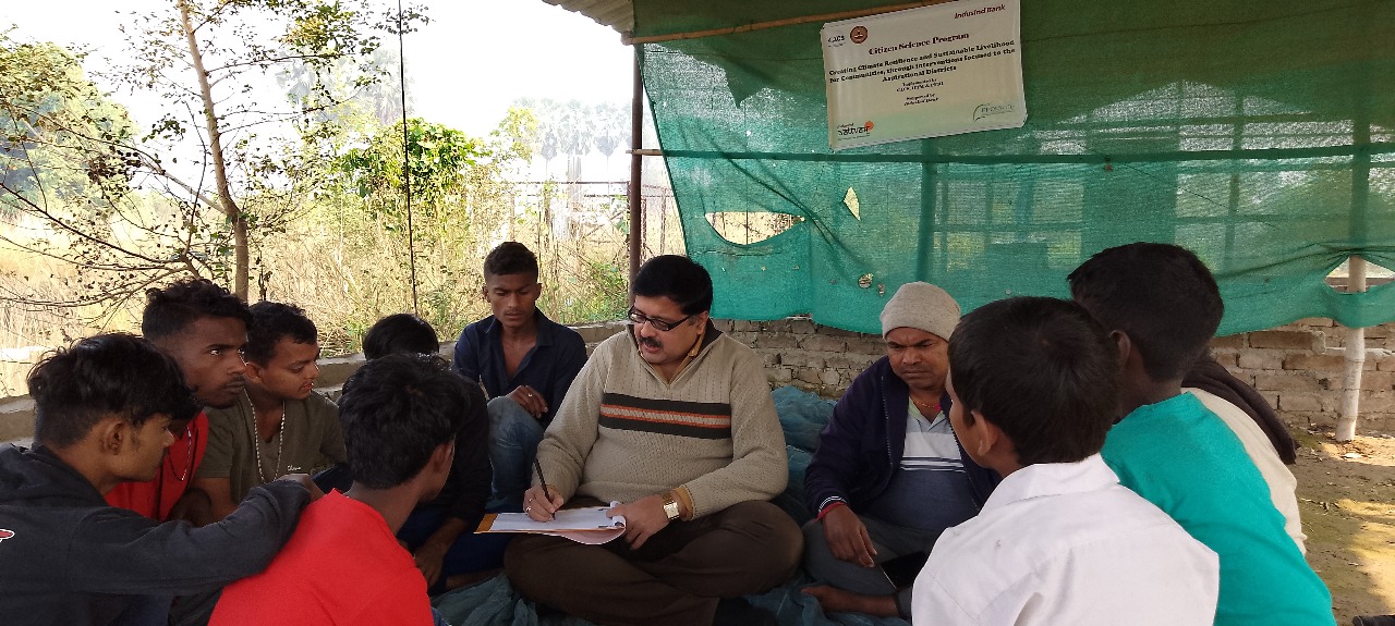
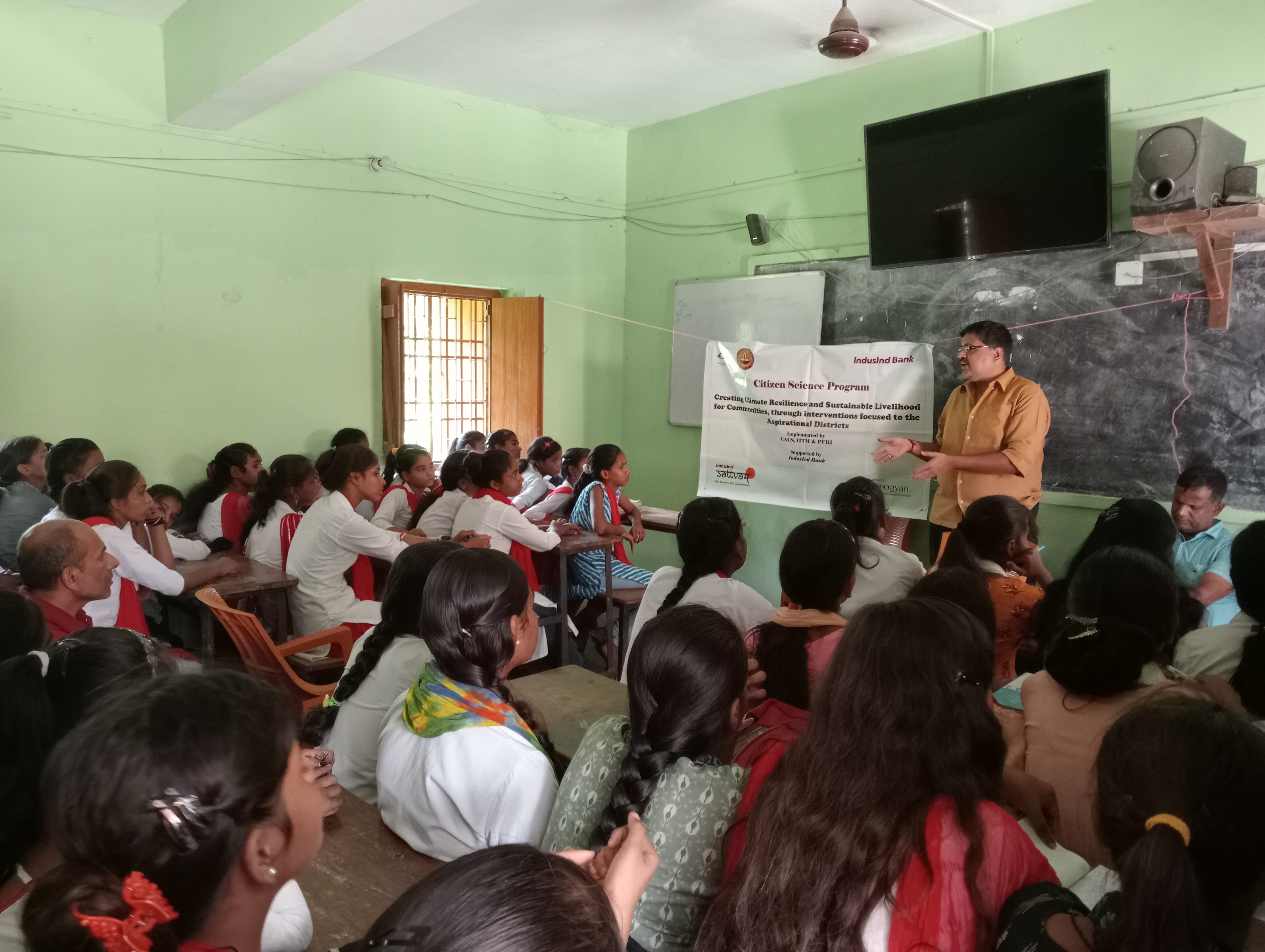
Capacity building at the community level, along with an organically developed awareness campaign focused on local people and the environment through a "geo-centric approach," has been successfully initiated as scheduled. This initiative aims to enhance local knowledge of climate resilience and sustainable practices. A Citizen Science Program has also been launched, encouraging community participation in data collection and environmental monitoring, fostering a sense of ownership and responsibility toward local ecosystems.
To enhance the knowledge and skills of local farmers, community members, and agricultural stakeholders on sustainable agricultural practices and water resource management.
To raise awareness about the place-based approach and its relevance to solving local agricultural challenges. To disseminate knowledge regarding the integration of renewable energy technologies in local farming practices.

To encourage local communities to actively participate in data collection, observation, and research related to agricultural sustainability and environmental monitoring. To empower citizens to understand and solve local challenges with innovative approaches, such as participatory data gathering in water management and pest control.

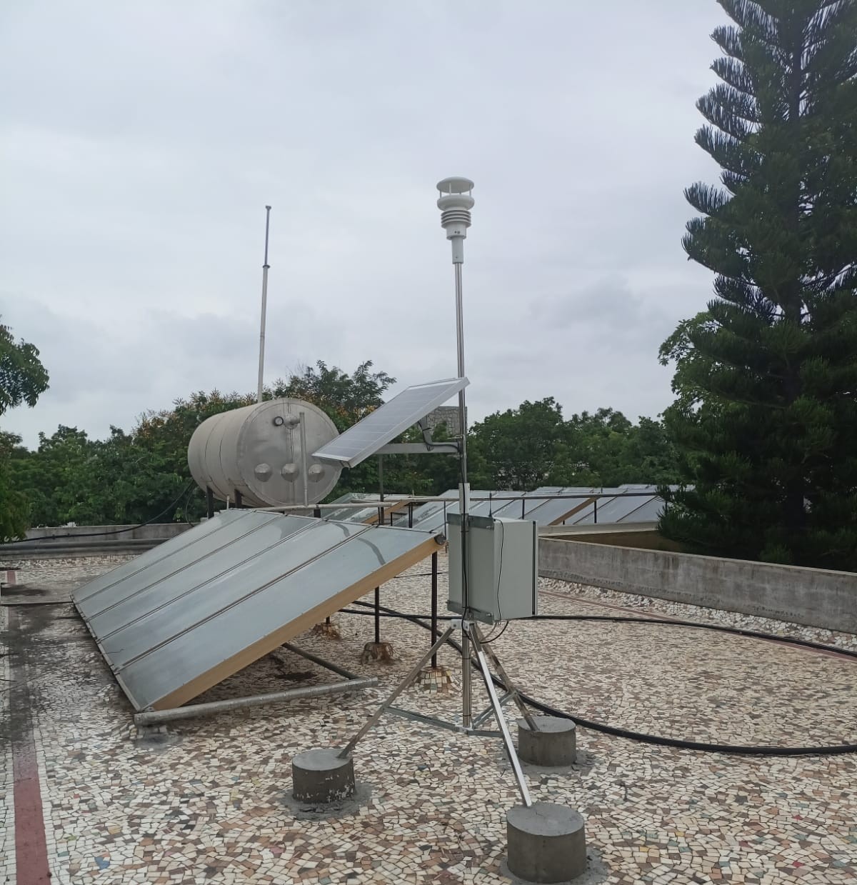
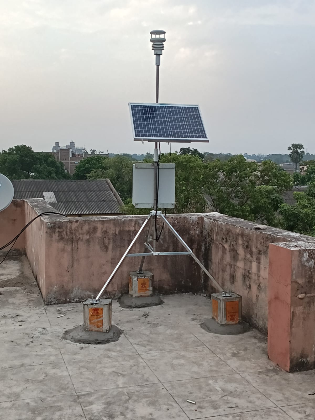
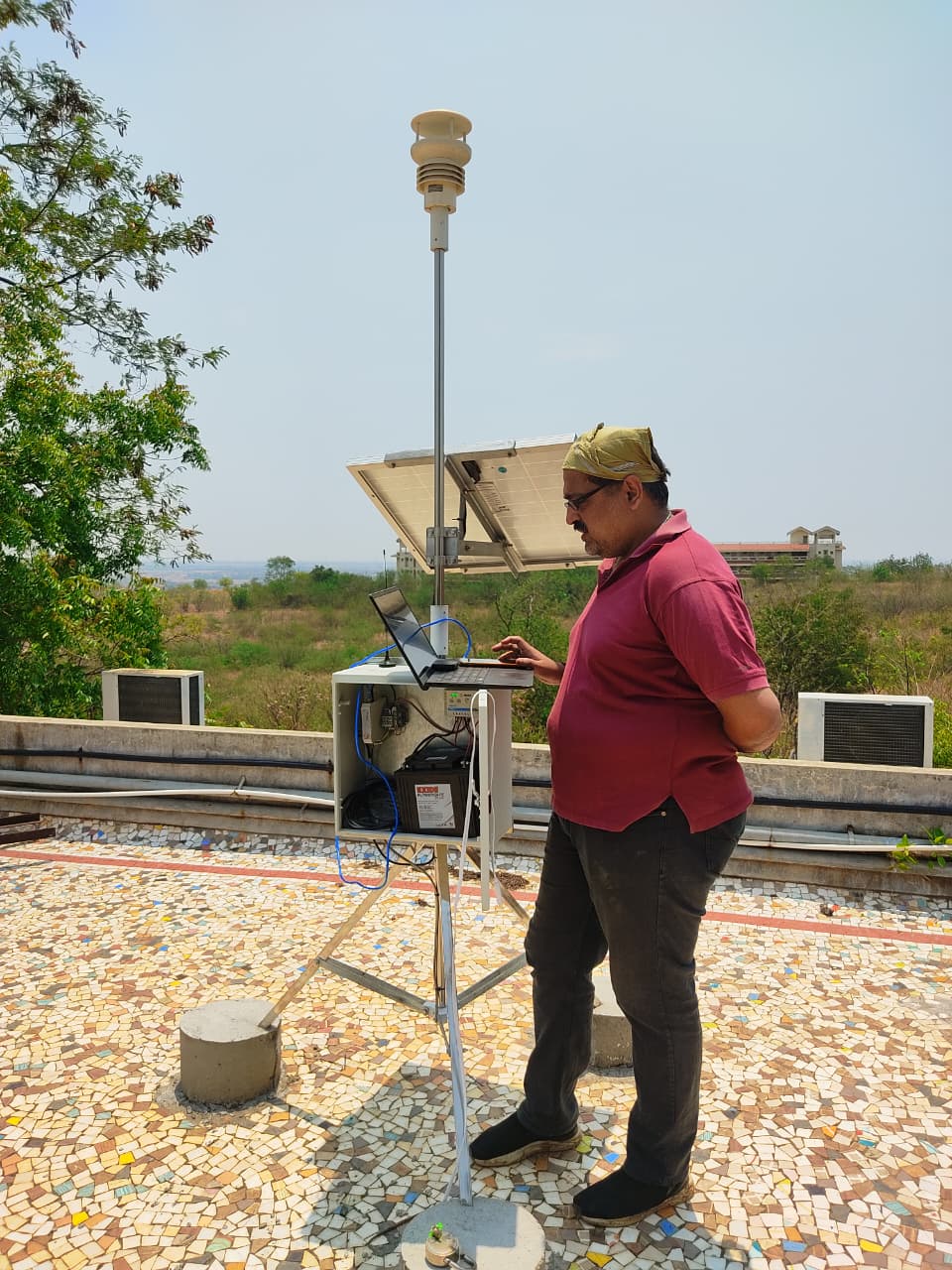
Two automated weather stations have been installed to facilitate the procurement of real-time weather data. The first station has been established at the District Agricultural Office premises in Begusarai, with approval from the Honourable District Magistrate. The second station has been installed at the Tata Institute of Social Sciences (TISS), Tuljapur, to enable continuous weather monitoring. These stations generate 24 key weather parameters at 5-minute intervals, providing valuable data for informed decision-making and climate-resilient planning
Kisanbandhu is an advanced, data-driven farmer advisory application designed to support location-specific agricultural decision-making through the integration of geospatial technologies and real-time analytics. The platform aims to enhance farm productivity, optimize resource use, and strengthen climate resilience among farming communities.
At the core of Kisanbandhu is a geofencing-enabled land profiling system, where farmers can digitally map their agricultural plots. By capturing precise spatial boundaries and integrating field-level data, such as soil characteristics, water availability, historical cropping patterns, and local climatic conditions, the application generates place-based, customized advisory services.
Based on agro-climatic zoning and field-specific parameters, Kisanbandhu recommends optimal cropping patterns, seasonal crop choices, and diversification strategies tailored to each plot.
The platform enhances ‘crop visibility’ by enabling farmers to understand growth stages, expected outputs, and potential risks, thereby supporting informed farm management decisions.
Kisanbandhu integrates market data streams to provide real-time information on commodity prices, demand trends, and nearby market linkages, empowering farmers to make better selling decisions.
The system supports efficient use of inputs such as water, fertilizers, and labor through data-backed recommendations aligned with local conditions.
By combining geospatial analytics, localized data inputs, and market intelligence, Kisanbandhu transforms conventional advisory systems into a precision agriculture support tool, bridging the gap between field realities and informed decision-making.